6 Smart Ways Investors Use Drone Property Inspections
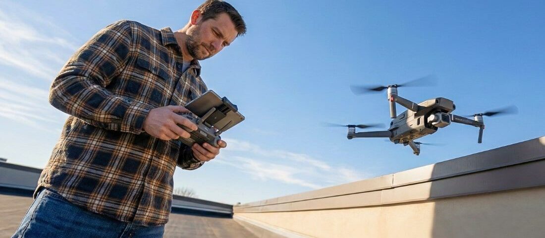
Drone property inspections are a valuable tool for commercial investors. They help you evaluate properties quickly, safely, and accurately.
If you manage multiple locations or invest from afar, drone footage gives you a complete view without being there in person. It captures essential details such as roof wear, lot conditions, and access points that regular photos might miss. That helps you make better decisions based on authentic images instead of guesses.
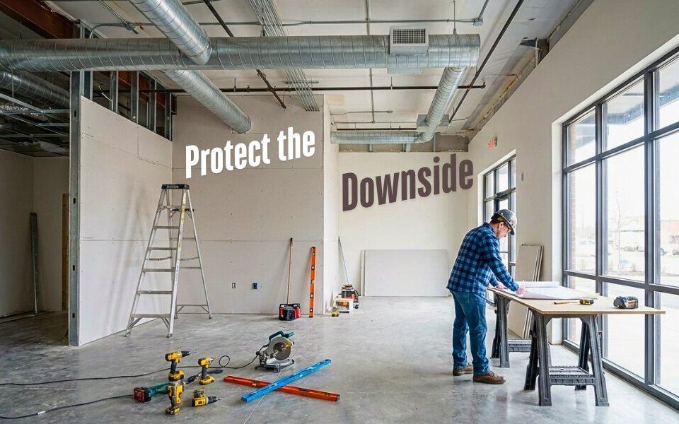
For investors in Lake Havasu and similar areas, drone property inspections improve your research and protect your money. These aerial views let you assess the property’s condition, compare sites, and close deals with confidence.
This post will share six creative ways investors use drone property inspections to make smarter investment choices.
Why Drone Inspections Benefit Investors
Drone inspections use unmanned aerial vehicles (UAVs) to provide essential information that improves the investment process. You can see key details before making a purchase. This technology also reduces travel costs, speeds up inspections, and supports negotiations.
With visual data, you can check the condition of buildings, measure property lines, and look at nearby land use. When you combine this data with expert analysis, you can avoid surprises and increase your long-term returns.
6 Smart Ways Investors Use Drone Property Inspections
Evaluate Roofs and Building Exteriors
Drone cameras quickly spot roof damage, cracks, and drainage issues, helping you estimate repair costs and negotiate terms. Aerial photos provide a clearer view of the property’s size and layout.
Verify Property Boundaries
Precise mapping prevents boundary disputes. Drones capture aerial photos of property lines and nearby features, helping you understand what you’re buying and protecting you when developing or selling.
Monitor Construction or Renovation Progress
If you invest in new builds or remodels, drone inspections provide regular progress updates. They record site changes and track milestones from start to finish. Investors use this footage to ensure that work aligns with project timelines and budgets.
Assess Undeveloped Land
Drones simplify land assessment for commercial expansion. They show slope, terrain, vegetation, and drainage conditions in detail. That helps you determine whether the property supports your plans or needs additional preparation.
Improve Marketing and Listing Visibility
Aerial footage enhances commercial property listings. Drones showcase parking access, nearby roads, and neighborhood visibility, all of which buyers value. Listings that include aerial videos often attract more qualified interest and sell faster.
Strengthen Insurance and Appraisal Records
Drone inspections can document property conditions for insurance and valuation purposes. These visuals create a timestamped record that protects you from disputes or claims. They also help appraisers confirm property conditions without multiple site visits.
How Drone Insights Support Stronger Investments
These aerial property inspections use technology to gather key information quickly. They help you identify issues that other methods might miss and enable you to act faster than competitors.
This tool also improves collaboration among brokers, engineers, and contractors by sharing a standard visual data set. Regular drone inspections enhance your due diligence, boost your confidence in investment decisions, and help you identify overlooked value.
FAQs About Drone Property Inspections
Are drone property inspections legal for commercial use?
Yes. Licensed operators following FAA Part 107 rules can perform inspections for investors and real estate professionals.
How much do drone inspections cost?
Fees vary by property size and scope. They are usually less expensive than complete on-site surveys.
Do drone inspections replace traditional inspections?
No, they complement these evaluations by providing visuals that help conduct more thorough on-site assessments.
What types of properties benefit most?
Commercial sites, industrial lots, retail centers, and undeveloped land gain the most from aerial inspections.
Start Your Smart Investment Move
Drone property inspections give you a more comprehensive view of your investments. When paired with expert market guidance, they become a powerful decision-making tool.
Connect with Randy Shuffler to access verified property insights, local expertise, and investment opportunities across Lake Havasu.